The official name of the country is the United Republic of Tanzania in Swahili Jamhuri ya Muungano wa Tanzania. The name Tanzania came after the union of Tanganyika and Zanzibar on 26th April 1964. The United Republic of Tanzania is divided into Tanzania mainland (Tanganyika) and the Islands of Zanzibar (Zanzibar). Zanzibar has two main islands of Unguja and Pemba.
Tanzania is the biggest country located in East Africa. It has total area of about 947,303 square kilometres (365,756 square miles). The national parks area covers about 5% of the total area (57,365sq. km). The country is located in East Africa, south of the Equator, between one degree and twelve degrees latitudes. Also it lies between 29 and 41 degrees longitudes to the East. Regarding the neighbours and boundaries of Tanzania; in the north it borders with Kenya and Uganda, in the south Mozambique, in the south west Zambia and Malawi, in west Burundi, Rwanda and DRC (Democratic Republic of Congo) and to the east the Indian Ocean. The country is now divided into 31 political regions, 26 regions in Tanzania mainland and 5 regions in Zanzibar. It has more than 120 tribes with different vernaculars. Tanzania is known as the “Island of peace and tranquility” (Kisiwa cha Amani na Utulivu) because its people do not like war but peace.
The national language is Kiswahili.
The national symbols include the flag, coat of arms, Uhuru torch, the national anthem (God bless Africa – Mungu Ibariki Afrika) and Kiswahili language. The flag of Tanzania consists of four stripes of colours. Green which symbolizes the fertile lands of Tanzania, yellow symbolic of the country’s minerals deposits, blue signifies water bodies including the Indian Ocean and black represents the people of Tanzania. This flag of Tanzania was adopted on 30th June 1964. The Uhuru Torch (Mwenge wa Uhuru) symbolizes freedom and light. It was first lit on top of Mount Kilimanjaro in 1961, symbolically to shine the country and across the borders to bring hope where there is despair, love where there is enmity and respect where there is hatred. Yearly there is the Uhuru Torch race, starting from and ending at different prominent places.
The coat of arms (the emblem – Nembo ya Taifa) consists of about 12 symbols. It’s said that the coat of arms was designed by somebody Mr Jeremiah Wisdom Kabati at Bwiru Mwanza in 1961. First the emblem has a warrior’s shield which bears a golden portion on the upper part. This golden portion represents minerals in Tanzania. Second, below the golden portion, it is the flag of Tanzania with four colours as explained above.
Third, below the flag there is a red portion which symbolizes the rich fertile soil of Africa. Fourth, below the red portion, it is the wavy bands of blue and white colours which represent the land, sea, lakes and coastal lines of Tanzania. Fifth, is the burning torch which appears on the golden portion. It signifies freedom (Uhuru), enlightenment and knowledge. Sixth, there is a spear which signifies defense of freedom. Seventh, the crossed axe and hoe which represent the tools that people use to develop the country. Eighth, Mt. Kilimanjaro the highest in Africa known as the roof of Africa. Ninth, the tusks of elephants representing the wildlife wealth. Tenth, a man and a woman supporting the tusks indicating the theme of cooperation. Eleventh, a clove bush (crop) at the feet of the man indicating the famous crop in Zanzibar and a cotton bush (crop) at the feet of the woman indicating one of the crops in Tanzania mainland. Twelfth, there is the United
Republic motto written underneath in Swahili, “Uhuru na Umoja” which means Freedom and Unity.
The political capital of Tanzania is Dodoma while Dar es Salaam is the commercial capital. The main cities are Dar es Salaam, Mwanza, Arusha, Tanga and Mbeya. Tanganyika got its independence on 9th December 1961 and it became a United Republic in 1962. According to the 2012 census the country had a population of about 45 million people and the estimate of population for the year 2016 was 55 million people.
Historically, Tanganyika was colonized first by Germans (1880s until 1919) then the British (1919 to 1961). Tanzania became independent on 9th December 1961. The first president was Mwalimu Julius Kambarage Nyerere, the father of the nation (Baba wa Taifa) who died on 14th October 1999. Mwalimu Nyerere resigned and the second president was Alli Hassan Mwinyi from 1985 up to 1995. The third president was Benjamin William Mkapa from 1995 up to 2005. From 2005 up to 2015, the fourth president was Jakaya Mrisho Kikwete. And the fifth president of Tanzania is Dr. John Pombe Joseph Magufuli who started in 2015 to present. The multiparty system was started in 1992 and the first election under multiparty system was in 1995. The general election of president, members of parliament (Wabunge) and counselors (Madiwani) is done after every five years.
The Island of Zanzibar has its own semi-autonomy government. Zanzibar became free through the revolution of 12th January 1964 under Abeid Amani Karume who died on 7th April 1972 by assassination. Karume was followed by Aboud Jumbe (from 1972 to 1984) and then Alli Hassan Mwinyi (1984 to 1985) before he was elected the president of the United Republic of Tanzania in 1985. Mwinyi was followed by Idrissa Abdul Wakil from 1985 to 1990. From 1990 to 2000 it was Salmin Amour. After Salmin Amour it was Amani Abeid Karume (the son of the first president Abeid Karume) from 2000 up to 2010. And the seventh president of Zanzibar is Ali Mohamed Shein who took office from 2010 to present.
The public and holidays in Tanzania include the following dates; the first January which is the New Year day and 12th January Zanzibar Revolution day. 7th April is Karume day. Others are Good Friday, Easter Sunday and Easter Monday which fall around March and April. Another is 26th April the union day, 1st May (Mei Mosi) the workers or labour day. Eid ul Fitr the end of Ramadhan which falls around June depending on moon sighting. Also we have Saba Saba day on 7th July and Nane Nane day on 8th August the Farmers’ or peasants day. Others are Nyerere day on 14th October, Maulid day around December, the Independence Day on 9th December, the Christmas day on 25th day and the Boxing Day 26th December.
Tanzania has a climate ranging from tropical to temperate which is highly influenced by the altitude and the distance from the sea (coast). In the highlands temperature is around 10 degrees centigrade. The rest of the country it ranges from 15˚ to 35˚C. The hottest period for the large part of the country is around November to February. The country has two seasons of rainfall. The season of heavy rains (Masika) and the season of light rains (Vuli). The annual rainfall ranges from 600mm to 2000mm.
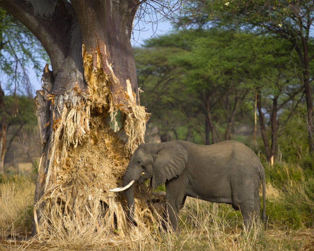
Geographically, Tanzania is a vast land enriched with splendid and spectacular landscape features such as mountains, lakes, rivers, craters, islands, gorges, rift valley, swamps, savannah plains, plateaus and highlands, coral reefs, coastline, forests, archaeological and historical sites, natural reserves and national parks, and so on. Tanzania is also very rich in wildlife including the big five animals, that is Lion, Leopard, Elephant, Rhinoceros and Buffalo. It has the highest mountain in Africa, Mt. Kilimanjaro with 5895m above sea level and mount Meru the second highest in Tanzania with an altitude of 4566m.
Tanzania has a number of protected areas which include national parks and game reserves. So far there are 16 national parks under TANAPA which are Ruaha (the biggest-20,300Km2), Serengeti (14,763 Km2), Katavi (4,471Km2), Mkomazi (3,245Km2), Mikumi (3,230Km2), Tarangire (2,850Km2), Udzungwa (1,990Km2), Kilimanjaro (1,668Km2), Mahale Mountains (1,613Km2), Saadani (1,062 Km2), Lake Manyara (648Km2), Arusha (552Km2), Kitulo (465Km2), Rubondo (456Km2), Gombe Stream (52Km2) and Saa Nane Island (50Km2). In Zanzibar we have Jozani Chwaka bay forest. Also we have Ngorongoro Conservation Area (NCA), Selous Game Reserve (50,000Km2), Rungwa (9,000Km2), Kigosi (7,000Km2), Moyowosi (6,000Km2), Ugalla (5,000Km2), Uwanda (5,000Km2), Kizigo (4,000Km2), Rukwa (4,000Km2) and many others, more than 28 game reserves. Other features include river Nile, Pangani, Ruvu, Wami, Malagarasi, etc. The main lakes are Tanganyika (the deepest and longest), and Victoria (the second largest in the world). Others are lake Nyasa, Natron, Manyara, Eyasi and Rukwa. The main islands are Unguja, Pemba and Mafia in Zanzibar.
Majority of Tanzanians, about 80% live in rural areas depending on agriculture as peasants. Agriculture contributes around 70% to the economy of Tanzania whereas tourism contributes 17% and 25% of foreign income. Minerals contribute less than 20% to the economy. The main minerals and gemstones found in Tanzania include gold, diamond, tanzanite which is only found at Mirerani in Arusha and other precious stones.
The crops cultivated in Tanzania include coffee, cotton, sisal, tea, cashew nuts, sugarcane, pyrethrum, tobacco, clove, bananas, maize, ground nuts, potatoes, wheat, flowers, sorghum, millet, rice, vegetables, fruits and others.