Name: Arusha refers to the region and one of the tribes in the region – WaArusha.
Origin of the name: From the tribe WaArusha. Previously it was called Ngurdoto Crater and also mount Meru.
Location: It is situated on the foothills of Mt Meru. Just 45 minutes’ drive from Arusha city.
Year of establishment: In 1960.
Size: It was extended from 137Km2 to a total area of 552Km2 in 2005
Altitude from the sea level: It ranges from 1524m to the top of Mt Meru which is 4566m
Distance: About 30km from Arusha town and 40km from KIA
Geographical features/Landscape: Views of the landscape of Mt Meru, Ash cone, scenic view of Momella Lakes, dense tropical forest, Ngurdoto Crater, swamp areas, open plains on the west (known as
Serengeti Ndogo), waterfalls, etc
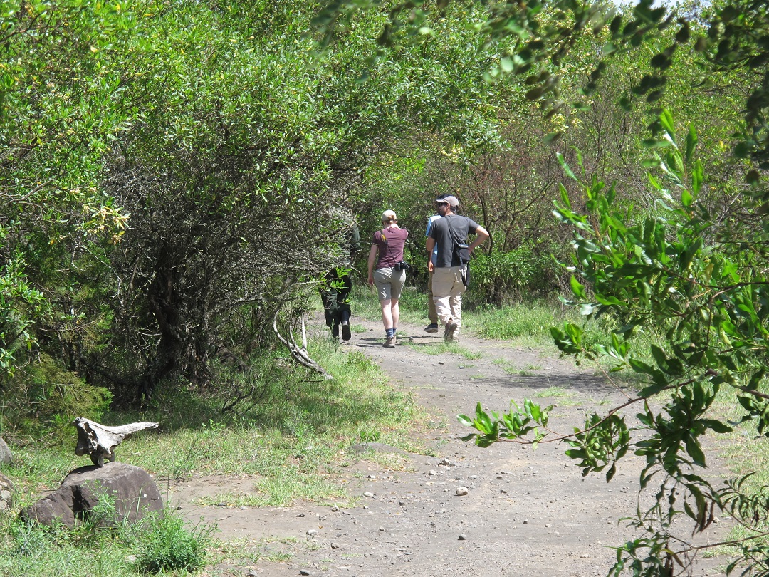
Main attractions/Tourism products: Game viewing, horse riding, mountain climbing, organized walks with a ranger, game drive, canoeing, etc.
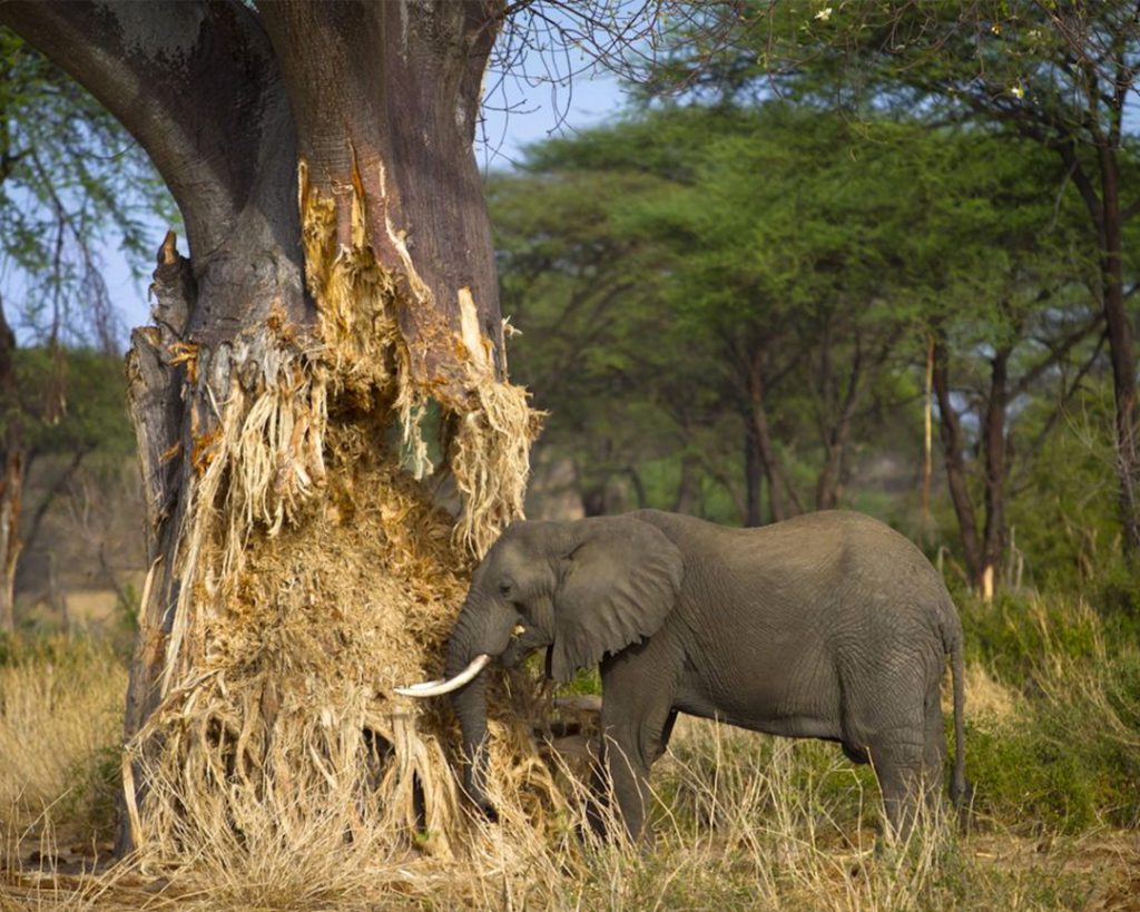
Wildlife: White and black colobus, elephants, buffalos, hippos, waterbuck, bushbuck, antelopes, zebras, Warthog, giraffe, monkeys, more than 400 species of birds, etc.
Means of transport/access: easily accessible by road.
Rain and dry season: Long heavy rains around March to June and light rains from October to November
Best time to visit: Accessible throughout the year but during the heavy rainfall season it requires
4x4WD to reach the highlands forest.